 Contour Desk
Scale
A straight line and a route answer different questions
Measure the shape you actually intend to describe, then name the limits of the result.
 Scale
The scale belongs to the copy in your hand
A useful map measurement starts by checking what happened between the original page and the copy you are reading.
Contour spacing is a relationship, not a texture
Read neighbouring lines together before describing a slope as gentle, steep, or flat.
Which north does this page mean?
A small north arrow is useful only when its reference and purpose are understood.
Coordinates need an order as well as numbers
Check the named coordinate system before copying a pair into another map.
Give the legend a job before you scan the page
A map key becomes easier to use when it answers a specific question about an uncertain mark.
Shaded relief is a lighting convention
Separate the apparent illumination of a hill from its printed height evidence.
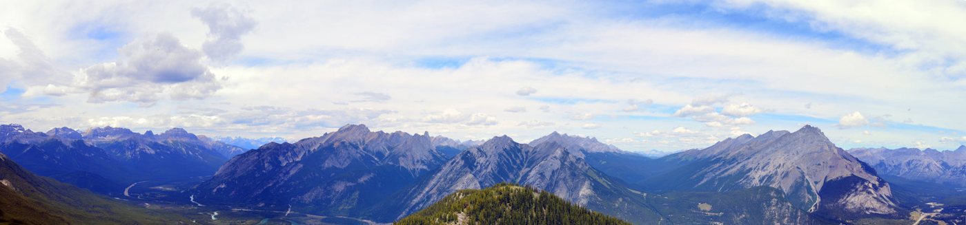 Relief
Draw a height profile without inventing the ground
A paper profile can clarify a contour crossing when its assumptions stay visible.
Match the edge before joining two map sheets
An apparently broken route can be a mismatch of editions, scales, or sheet margins.
A coloured area does not grant access
Read a map's colour key separately from its access and boundary symbols.