 Contour Desk
Relief
Shaded relief is a lighting convention
A shaded map can make hills appear almost touchable. Light faces advance, dark faces recede, and a landscape seems to emerge from the paper before a single number is read. That immediate effect is useful, but it comes from a chosen representation of light. It is not a photograph of the place at the moment of reading. Begin by treating the shading as an aid to seeing shape. Then ask which other marks establish height, direction, and the publication's purpose. The darker side of a hill is a visual cue whose meaning depends on the method used to draw it.
Look in the map's explanatory information for a description of the relief treatment. Some shaded maps are derived from a terrain model; others involve additional cartographic adjustments for clarity. The resulting image may favour one lighting direction or combine several. You need not understand the whole production process to use the map sensibly. You do need to avoid reading the simulated illumination as today's sunlight, the colour of the ground, or evidence that one slope is permanently in shade. These would be different questions requiring different information.
Let contours settle the direction of rise
Choose a small hill where the shading is easy to see and contour labels remain legible. Follow the labelled heights toward the interior of the feature. This checks which way the land rises independently of the apparent light. If the shaded form initially seemed like a hollow, pause before deciding the labels are wrong. Printed relief can be visually ambiguous, especially when a page is rotated or when the surrounding context is missing. A short numerical check is often more dependable than insisting on the first impression of depth.
Now cover the shading mentally by concentrating on a few contour crossings. Describe the evidence in a sentence: the heights increase toward the closed loops, and the spacing narrows on one side. Bring the shading back into view and compare the two readings. Agreement helps the scene become easier to follow. Disagreement tells you where to slow down. It does not automatically mean the map is defective. An unfamiliar convention, a very faint contour, or a complicated landform may be responsible for the difficulty.
Darkness does not measure a slope
Do not compare two dark patches as though darkness were a scale of steepness. Apparent tone can depend on the simulated light direction as well as the slope's orientation and the map's rendering choices. A steep face aligned toward the light may appear brighter than a less steep face directed away from it. Contour spacing, read with the contour interval and map scale, supplies a more explicit basis for comparing a height change over distance. The shaded treatment helps organise the scene; it does not replace those relationships with a universal darkness measurement.
Colour can add another layer of ambiguity. A publisher may use colour for elevation bands, land cover, political areas, or simple visual contrast. A brown patch beside a green patch does not explain its own meaning. Check the legend rather than borrowing a familiar convention from a different atlas. In a combined map, the hillshade may be visible through those colours, making a printed patch darker without changing the category it represents. Reading the layers separately can resolve what initially looks like an inconsistent colour key.
Compare a photograph carefully
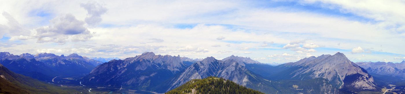
A photograph of ridges offers a useful contrast because it also depends on viewpoint and light. The visible silhouette is the edge of a three dimensional scene from one camera position. Shaded relief usually represents a view from above. Features hidden behind a foreground ridge in the photograph may be clearly present on the map. Use the photograph to notice broad form and the map to locate the printed relationships. Do not force each dark photographic patch to match a dark map patch. Their shadows answer to different lighting and viewing arrangements.
For a small desk exercise, write two descriptions of the same feature. The first uses only the shading: a ridge appears to run diagonally across the sheet. The second names the contour evidence that supports or changes that impression. Keep both sentences with a note identifying the map edition. Over time this makes the fast visual impression easier to check. Shaded relief becomes more helpful when it remains connected to explicit height evidence, rather than being asked to carry every claim about the landscape by itself.
Keep reading